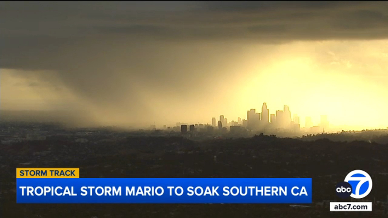
UPDATE: Tropical Storm Mario is rapidly approaching Southern California, bringing the potential for heavy rain and thunderstorms starting Wednesday night through Thursday. The Los Angeles area can expect rainfall amounts ranging from half an inch to one inch, with even higher totals of 1-2 inches in nearby mountains and deserts.
Officials are sounding the alarm as flash flooding becomes a serious concern, particularly in areas affected by recent wildfires, known as burn scars. AccuWeather’s chief meteorologist, Jonathan Porter, warns that the greatest risk for flooding will occur in the lower deserts and mountainous regions over the next day and a half. “We’re most concerned about the greatest risk for flash flooding across the lower deserts and the mountains,” Porter stated.
The heaviest rainfall is expected to target mountainous and desert areas, but urban locations are also at risk for flash floods, with slick roads creating hazardous travel conditions. Residents are urged to stay vigilant and be prepared for sudden downpours.
Additionally, coastal areas are under close observation as thunderstorms may produce rough conditions at sea. Pono Barnes, a captain with the L.A. County Fire Department, emphasized the importance of safety on the water: “Have your marine radio tuned. Make sure you know exactly what you’re getting yourself into as you go out there, and know your limits.”
As the storm progresses, stay tuned for live updates and crucial safety information. The region’s emergency services are on high alert, ready to respond to any incidents that may arise from the severe weather.
This is a developing situation. Residents are encouraged to monitor local news and weather reports for the latest updates and to prepare for potential impacts from Tropical Storm Mario.