UPDATE: President Donald Trump has reignited discussions about potentially annexing Greenland, the vast Arctic island that remains a territory of Denmark. In remarks made on Sunday, Trump asserted, “We do need Greenland, absolutely. We need it for defense.” This renewed interest comes as the U.S. seeks to enhance its strategic presence in the Arctic amid increasing geopolitical tensions.
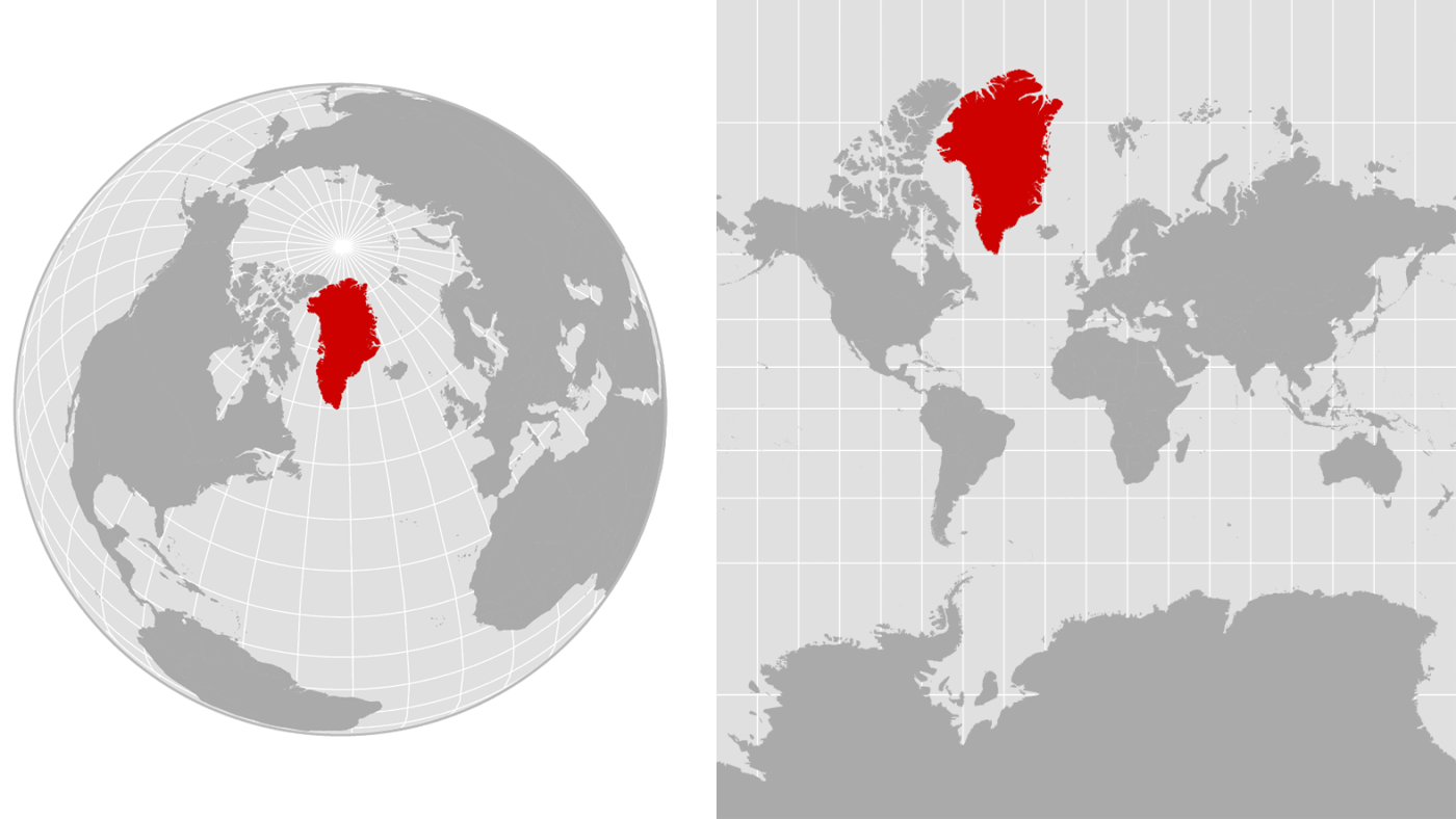
Greenland, which spans over 836,000 square miles, is often depicted as a massive landmass on many maps. However, a closer examination reveals that the island’s size can be misleading due to the map projections used. Specifically, the Mercator projection—a common map type—greatly exaggerates the size of land areas located near the poles, making Greenland appear comparable to the continent of Africa, despite Africa being about 14 times larger.
According to Fritz Kessler, a geography professor at Penn State University, “Mathematically, the parallels and meridians get pulled apart, creating an exaggerated effect in the upper latitudes where landmasses look huge.” This distortion has sparked discussions about the need for more accurate representations of geographical data.
Efforts to replace the Mercator projection have gained traction. The Robinson projection and the Equal Earth map are two alternatives that offer a more realistic view of land sizes. Last year, the African Union endorsed a shift towards the Equal Earth map to better reflect the continent’s scale.
Kessler emphasizes that the choice of map projection should depend on the specific purpose, whether it’s to measure distances, directions, or areas. “There’s hundreds of projections that can be used, and the fact that we focus on just a very narrow subset is another problem that should be addressed,” he stated.
As the conversation about Greenland’s strategic importance unfolds, it also prompts a broader discussion about our understanding of geography and the implications of map usage. The ongoing debate highlights a critical intersection of national defense interests and geographical education that could influence policy decisions moving forward.
Stay tuned for more updates on this developing story as it continues to unfold.