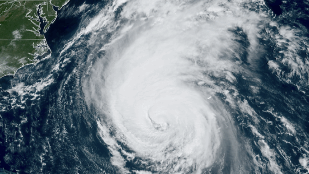
The United States Department of Defense (DoD) is facing significant challenges due to anticipated cuts from the National Oceanic and Atmospheric Administration (NOAA). These budget reductions threaten the availability of critical weather data, which the DoD relies on for various operations. In response, the Space Force has begun repurposing older NOAA-operated GOES weather imaging satellites to provide essential weather monitoring over the Indian Ocean, supporting the strategic needs of the Indo-Pacific Command.
This initiative is particularly important given the increasing frequency of extreme weather events in the region. The Indian Ocean has become a focal point for military activities and humanitarian operations. By utilizing the repurposed GOES satellites, the Space Force aims to ensure that accurate and timely weather information remains accessible, even amid budget constraints.
Impact of NOAA Budget Cuts on Military Operations
The planned cuts to NOAA’s budget are expected to significantly reduce the agency’s capacity to provide comprehensive weather data. According to recent statements from officials, the proposed reductions could lead to a decrease in satellite operations and maintenance, ultimately affecting the quality of weather forecasts available to defense agencies.
The reliance on NOAA for weather data is critical, as accurate forecasting is essential for mission planning and operational readiness. The DoD has consistently highlighted the importance of reliable weather information for military training exercises and deployments. Without sufficient data, the effectiveness of military operations may be compromised, potentially putting personnel and resources at risk.
Repurposing Satellites for Enhanced Monitoring
In light of these challenges, the Space Force’s decision to repurpose older GOES satellites reflects a proactive approach to maintaining weather monitoring capabilities. These satellites, which have been in operation for several years, are equipped with advanced imaging technology that can capture real-time weather patterns and atmospheric changes.
By focusing on the Indian Ocean region, the Space Force is addressing specific operational needs of the Indo-Pacific Command. This area is strategically significant for U.S. military interests, especially given the geopolitical landscape and varying climate conditions that can affect operations.
The integration of NOAA’s technology into military operations underscores the collaboration between civilian and defense agencies. It highlights the need for innovative solutions to ensure that vital information continues to flow despite financial constraints.
As the DoD navigates these changes, the importance of maintaining robust weather monitoring capabilities becomes increasingly clear. The repurposing of satellites, while a temporary measure, may serve as a model for future collaborations between the defense sector and civilian agencies. The ongoing developments will be closely monitored as the situation unfolds in the coming months.
