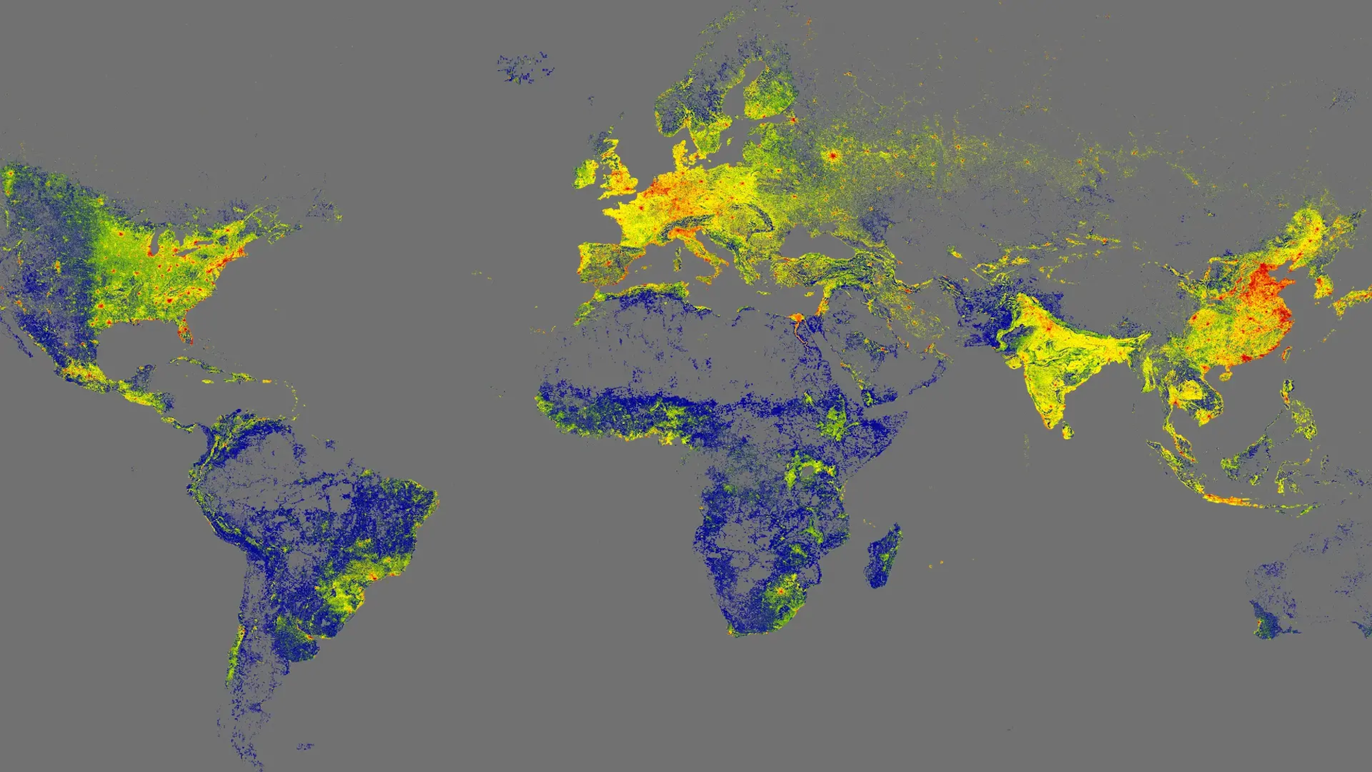
A team of researchers at the Technical University of Munich has launched an ambitious project that maps all the buildings in the world, totaling approximately 2.75 billion structures. This groundbreaking initiative, named GlobalBuildingAtlas, utilizes a wide range of datasets to create a high-resolution 3D model of urban environments, marking a significant advancement in the field of cartography.
What sets GlobalBuildingAtlas apart is its focus on practical applications rather than mere recognition. According to the research lead, Xiaoxiang Zhu, the 3D representation offers a clearer understanding of urbanization and socio-economic conditions compared to traditional 2D maps. Zhu stated, “3D building information provides a much more accurate picture of urbanization and poverty than traditional 2D maps. With 3D models, we see not only the footprint but also the volume of each building, enabling far more precise insights into living conditions.”
Enhancing Urban Analysis with New Metrics
In addition to the atlas itself, Zhu’s team has introduced a novel measurement tool: building volume per capita. This metric assesses the total building mass in relation to the population of an area, providing insight into social and economic disparities linked to housing and infrastructure. Zhu emphasized the importance of this tool, noting, “This indicator supports sustainable urban development and helps cities become more inclusive and resilient.”
The level of detail in GlobalBuildingAtlas is unprecedented, with approximately 97 percent of the 3D structures categorized as Level of Detail 1 (LoD 1). While higher levels of detail exist, LoD 1 indicates that the general shape and height of these buildings are accurately represented, making the data suitable for various computer modeling projects. With a resolution of 9.8 by 9.8 feet, this atlas is reported to be 30 times more detailed than similar initiatives.
Future Developments and Accessibility
Compiled using data available as of 2019, GlobalBuildingAtlas is designed to be an evolving resource. Its open-access format ensures that it will be updated regularly, enhancing its utility for urban planners, researchers, and policymakers worldwide. Beyond its professional applications, the platform offers an engaging exploration tool for anyone interested in the built environment.
As cities continue to grow and evolve, tools like GlobalBuildingAtlas will play a crucial role in how we understand and plan urban spaces. This initiative represents not only a significant technological achievement but also a step towards more informed and sustainable urban development practices globally.