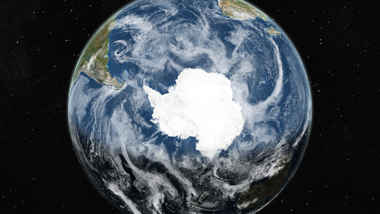
Advancements in satellite technology have allowed researchers to create an unprecedented map of Antarctica’s subglacial topography, revealing a landscape previously obscured beneath up to 3 miles (4.8 kilometers) of ice. Led by Helen Ockenden from the University of Edinburgh and the Institut des Geosciences de l’Environnement in France, the team employed a modeling technique known as Ice Flow Perturbation Analysis (IFPA) to interpret satellite observations of the ice surface.
This innovative approach utilizes detailed satellite data alongside the principles of ice flow physics to infer the topography beneath the Antarctic ice sheet. According to the researchers, their findings indicate that a significant level of detail regarding the subglacial landscape can be derived from these observations, particularly when supplemented with ice thickness data from geophysical surveys.
Discovering New Geological Features
In their study, published on January 15, 2023, in the journal Science, the researchers uncovered previously unknown geological features. These include steep-sided channels that may be associated with ancient mountain drainage systems and deep valleys resembling U-shaped glacial valleys found in other parts of the world. Such discoveries could provide insight into the geological history of Antarctica prior to the development of its ice cover.
Understanding these geological formations is critical for predicting how ice movements across the continent could influence global sea levels. The new IFPA map offers a mesoscale resolution, covering areas between approximately 1.2 to 18.6 miles (2 to 30 kilometers). However, the research also acknowledges that finer details of smaller landforms remain unresolved.
Implications for Future Research
The map serves as a significant resource for guiding future studies of Antarctica’s subglacial landscape. The team emphasized that it will inform targeted geophysical surveys, helping to determine the necessary extents and resolutions required to capture the intricate details essential for effective ice flow modeling.
Commenting on the implications of this research, Duncan Young from the University of Texas Institute for Geophysics noted that the upcoming International Polar Year 2031-2033 presents a prime opportunity for collaborative international efforts to deepen our understanding of ice sheet and bedrock properties. He highlighted that methodologies similar to those employed by Ockenden and her team could facilitate these expansive observational and modeling initiatives.
The advancements in mapping Antarctica’s subglacial terrain not only enhance scientific knowledge but also emphasize the importance of continuous research in understanding the impacts of climate change on global sea levels. With these new insights, researchers are better equipped to address the challenges posed by a warming planet and ensure a more informed approach to future environmental policies.