In a groundbreaking application of space technology, NASA’s Jet Propulsion Laboratory has utilized a satellite sensor to reveal a massive wastewater plume off the Southern California coast. Originally launched in 2022 to map minerals in arid regions, the satellite’s spectroscopic tool is now shedding light on environmental challenges closer to home.
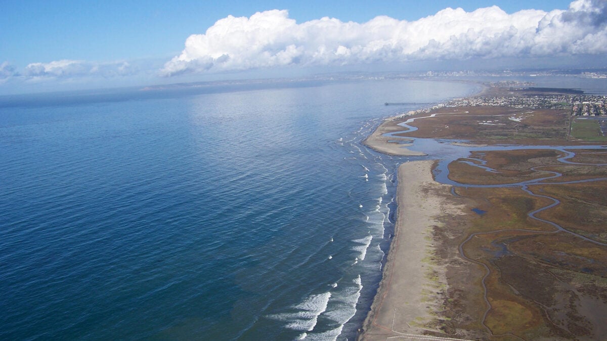
Every year, millions of gallons of untreated and treated wastewater are discharged into the Tijuana River, carrying pollution across the U.S.-Mexico border and into the Pacific Ocean. The recent study, published in the journal Science of the Total Environment, leverages the Earth Surface Mineral Dust Source Investigation (EMIT) instrument aboard the International Space Station to examine this troubling phenomenon at the Tijuana River delta.
Understanding the Impact of Wastewater Pollution
Pollution from wastewater is a significant environmental concern, introducing toxic chemicals, harmful algal blooms, and bacteria that can threaten public health and marine ecosystems. Traditionally, water-quality dashboards have guided public safety by indicating when it is unsafe to swim. However, these often depend on field samples, which may not fully capture the extent of pollution and can be costly and time-consuming to collect.
This is where EMIT’s advanced imaging spectroscopy comes into play. By capturing both spatial and spectral data, the instrument provides detailed insights into the molecular composition of the Earth’s surface. Each image captures hundreds of wavelengths per pixel, allowing researchers to assess the spectral signature of the wastewater plume.
Revolutionizing Pollution Monitoring with Space Technology
In their study, researchers compared hyperspectral satellite images from EMIT with spectra from untreated wastewater, diluted wastewater, and seawater samples near the plume. Ground-based spectrometer readings were also used for comparison. The findings revealed that water with high levels of wastewater contamination emits a distinct red spectral feature, offering a new method for monitoring pollution levels.
“From orbit you are able to look down and see that a wastewater plume is extending into places you haven’t sampled,” said Christine Lee, a scientist at JPL in Southern California. “It’s like a diagnostic at the doctor’s office that tells you, ‘Hey, let’s take a closer look at this.’”
This innovative approach could significantly enhance efforts to sample water quality near the river’s mouth, guiding scientists on where to focus their sampling efforts.
Broader Applications and Future Implications
Beyond monitoring wastewater pollution, EMIT has demonstrated its versatility in detecting methane and carbon dioxide emissions from gas leaks, assessing forest health, and estimating snowpack melting rates. The technology’s adaptability underscores its potential to address various environmental challenges.
According to Eva Scrivner, a doctoral student at the University of Connecticut and the study’s lead author, “The fact that EMIT’s findings over the coast are consistent with measurements in the field is compelling to water scientists. It’s really exciting.”
The successful application of EMIT in this study highlights the growing role of space technology in environmental monitoring. As researchers continue to refine their methods, the potential for satellite-based tools to contribute to environmental protection and policy-making becomes increasingly evident.
Looking ahead, the integration of satellite data with traditional field sampling could revolutionize how scientists and policymakers address environmental issues, offering a more comprehensive understanding of pollution and its impacts.
The implications of these findings extend beyond Southern California, providing a model for other regions grappling with similar pollution challenges. As the technology evolves, it promises to play a crucial role in safeguarding our planet’s health and resources.