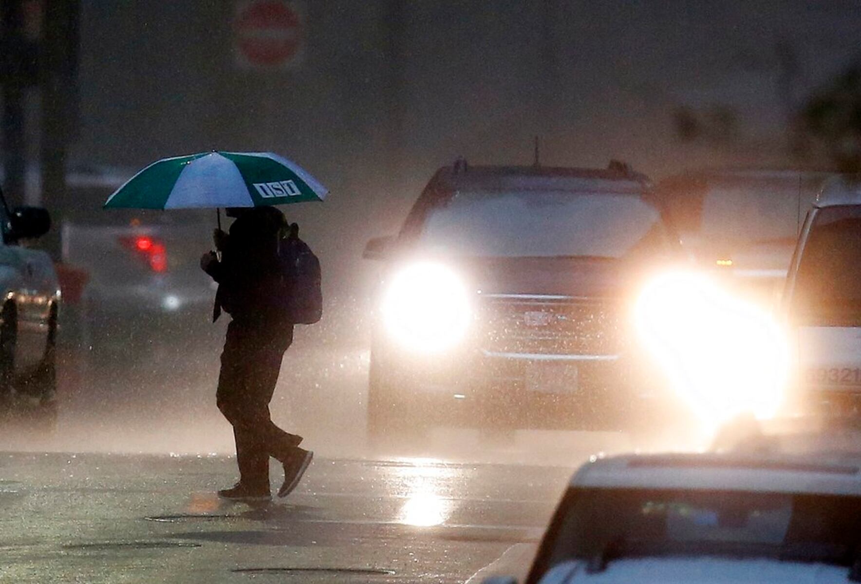
URGENT UPDATE: Massachusetts residents should brace for potential thunderstorms early Wednesday night, with the National Weather Service warning that this could be the last significant rain for the foreseeable future. Friday marks the state’s final chance for measurable precipitation as a strong high-pressure system takes hold over southern New England starting this weekend.
Forecasters indicate that scattered storms may appear as early as 8 a.m. and could linger until 1 p.m. on Friday. However, confidence in the exact timing of these storms remains low. The storms are expected to be weak, with wind speeds likely not exceeding 35 mph and minimal instability, reducing the risk of severe weather.
Following a calm Thursday, clouds will thicken throughout the day, influenced by a cold pool of dense air hovering over northern New England. This atmospheric phenomenon can lead to cool air during thunderstorms, although rain may evaporate before reaching the ground, as reported by WCNC.
Temperatures on Friday will range from the high 60s to low 70s, before the cold pool departs the region by Sunday and Monday. As the week progresses, temperatures are projected to rise into the high 70s and low 80s by Wednesday, signaling a shift towards warmer, drier conditions.
Residents are encouraged to stay informed as these storms approach, as they may represent the last chance for rain in the coming days. With the potential for a dry spell ahead, many may feel the impact of this shift in weather patterns, especially in areas reliant on regular precipitation for agriculture and outdoor activities.
Stay tuned for more updates as forecasters monitor the situation closely.