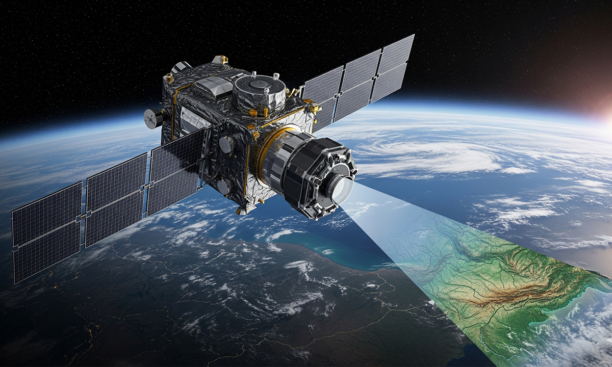
Google DeepMind has unveiled a groundbreaking artificial intelligence model named AlphaEarth Foundations, designed to enhance the mapping of the Earth’s surface. This innovative geospatial AI tool integrates satellite imagery and various environmental data to provide a cohesive view of the planet, aiding scientists and policymakers in making informed decisions about land and sea management.
The model operates as a “virtual satellite,” consolidating vast amounts of data collected daily by orbiting satellites. Traditionally, this data has been fragmented, existing in diverse formats and collected at different times, complicating its integration. According to a blog post from Google, AlphaEarth Foundations successfully merges this information, allowing for more accurate and comprehensive environmental insights.
One of the standout features of AlphaEarth Foundations is its ability to penetrate persistent cloud cover. For instance, it can map agricultural plots in Ecuador at various developmental stages and capture detailed imagery of Antarctica, an area typically challenging to survey. The AI model can detect changes in land use—such as new construction, deforestation, or crop growth—at a resolution of 10-meter squares. Moreover, it stores data efficiently, utilizing 16 times less space than comparable AI systems.
To make this valuable information accessible, Google plans to release annual snapshots from 2017 to 2024 in a new Satellite Embedding dataset within Google Earth Engine. This dataset will include over 1.4 trillion data points each year and will be available for public use without the need for additional processing.
More than 50 organizations, including the United Nations’ Food and Agriculture Organization, Stanford University, and Oregon State University, have already begun testing the system. For example, the Global Ecosystems Atlas is leveraging AlphaEarth Foundations to assist countries in categorizing unmapped ecosystems, while the Brazilian environmental mapping group MapBiomas utilizes the tool to monitor changes in farmland and forest areas.
Despite the model’s significant advancements, it relies heavily on the quality of satellite data, as noted in a blog post by GoGeomatics Canada. While AlphaEarth Foundations excels at filling gaps in incomplete data, poor-quality inputs can lead to misinterpretations in critical situations.
How AlphaEarth Foundations Works
AlphaEarth Foundations synthesizes information from a variety of satellite and environmental sources to create a clear and consistent representation of the Earth. This process is akin to assembling thousands of puzzle pieces into a single image, with each piece originating from different satellites, sensors, and time periods.
The system incorporates a range of public data, including optical satellite images, radar scans capable of penetrating cloud cover, 3D laser mapping, climate and environmental readings such as temperature and rainfall, as well as elevation maps and gravity measurements. It processes images from the same location over time as if they were frames in a video, enabling the model to track changes across seasons or years, such as crop cycles, deforestation, or urban expansion.
According to Google, AlphaEarth Foundations condenses all this data into what it describes as a “64-dimensional representation” for each 10-meter square of land or coastal water. In contrast to traditional 3D data that only accounts for latitude, longitude, and elevation, this 64-dimensional model offers a wealth of details regarding appearance, environment, and temporal changes.
Christopher Seeger, a professor and extension specialist in landscape architecture and geospatial technology at Iowa State University, commented on the model’s capabilities, stating, “What is interesting is that they’re able to get down to 10-by-10 meter squares, which is phenomenal. It’s going to be great for decision makers.”
The advances made possible by AlphaEarth Foundations mark a significant leap in Earth mapping technology. The DeepMind blog emphasized that this model allows scientists to create detailed, consistent maps of the world on demand, eliminating the need to rely solely on a single satellite’s data.
This system has a wide range of applications, including monitoring wildfires, tracking water levels in reservoirs, and identifying urban growth. It also streamlines the map-making process, requiring fewer samples and thus saving time and resources.
Looking ahead, Google is exploring the potential of integrating AlphaEarth Foundations with its Gemini multimodal model to further enhance the system’s capabilities. The intersection of these technologies promises to redefine our understanding and visualization of the Earth’s dynamic landscape.
