Eartheye Space, a startup based in Singapore and Australia, has announced the launch of a self-service satellite tasking platform that enables customers to direct satellites both towards Earth and deep space. The announcement was made on September 29, 2023, during the International Astronautical Congress in Sydney. This innovative service aims to enhance access to satellite imagery and information, making space situational awareness more straightforward for users.
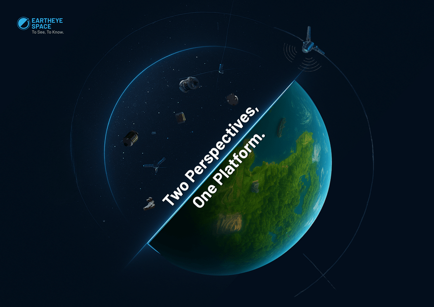
Shankar Sivaprakasam, founder and CEO of Eartheye Space, emphasized the platform’s user-friendly approach. “Customers on a single platform in a single workflow can decide to look down or look up,” he stated in an interview with SpaceNews. By integrating capabilities for both terrestrial and extraterrestrial observations, Eartheye Space is positioning itself as a leader in the satellite data market.
The platform will provide tasking for over 500 satellites operated by various commercial entities and governments globally. Eartheye Space does not own these satellites but utilizes sophisticated software to facilitate access. “We just have a very smart software platform,” Sivaprakasam explained, highlighting the company’s role as an intermediary in the satellite imagery market.
### Simplifying Access to Satellite Data
Founded in 2022, Eartheye Space raised $1.5 million in pre-seed funding in 2024 to further develop its online satellite-tasking platform. The company seeks to be the “Uber Eats” of Earth and space data, offering customers a streamlined way to obtain necessary information.
In addition to acquiring images, users can request automated data extraction on various topics, including environmental changes like oil spills, forest coverage, flooding, and illegal transshipments. Sivaprakasam noted, “On the back of the data, our secret sauce is delivering that information within a few minutes,” underscoring the platform’s rapid response capability.
With the increasing importance of satellite data for commercial, governmental, and scientific purposes, Eartheye Space is positioning itself to meet the growing demand for accessible and actionable satellite imagery. The ability to task satellites for a variety of applications could significantly impact industries ranging from agriculture to disaster management.
This new platform not only represents a technological advancement but also reflects a shift in how organizations can utilize satellite data. As Eartheye Space continues to develop its offerings, the implications for global data access and space situational awareness are substantial.