URGENT UPDATE: California is on high alert as back-to-back storm systems are set to unleash heavy rainfall across the Bay Area starting Monday, September 25, 2023. The National Weather Service (NWS) predicts the North Bay will bear the brunt of this severe weather, with up to 1 inch of rain expected by week’s end.
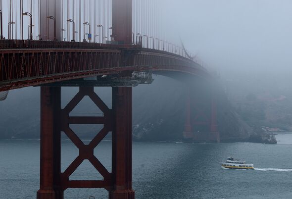
Forecasts indicate a 40 percent chance of rain from 11 a.m. on Monday, escalating into a deluge by Monday night and continuing into Tuesday evening. Winds could gust up to 15 mph, raising concerns for travel delays on bridges and coastal highways.
Meteorologist Nicole Sarment of the NWS stated, “Really, it boils down to an active Pacific Ocean. We’re looking at several low-pressure systems that pull moisture from different sources and develop stronger fronts.” This weather event marks the first significant rainfall of the season, arriving earlier than the typical November start.
The storms will primarily affect the North Bay, where residents could see the heaviest rainfall. In contrast, the East Bay may receive around 0.25 inches, while San Francisco could encounter up to 0.5 inches from both storms. The impact on air quality is also anticipated to be significant; recent wildfire smoke from Southwestern Oregon has prompted advisories, but Sarment assures that the incoming storms will help clear the air.
The second wave of storms, driven by a typhoon in the western Pacific, is expected to follow by early Wednesday, September 27. While showers may linger until late Wednesday night, forecasters assure the skies will clear significantly by Thursday morning.
Residents are urged to remain cautious, especially those in flood-prone areas. The combination of rain, wind, and lingering smoke could create hazardous conditions. Stay tuned for updates as this developing situation unfolds, and prepare for potential changes in travel plans.
This is a critical time for Californians as they prepare for the impacts of these storms. Share this urgent news with friends and family to keep everyone informed!